
Destinations


US Virgin Islands
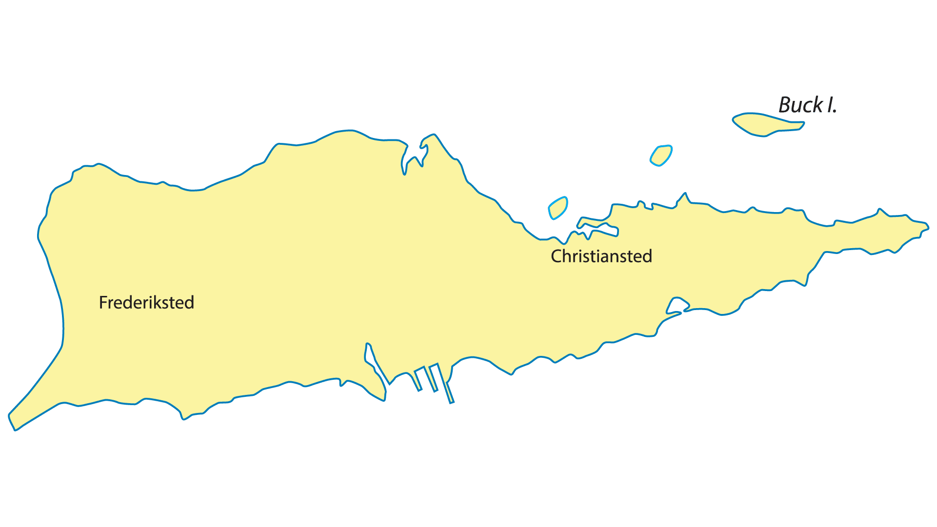
St. Croix
Overview The biggest of the Islands, St. Croix has been inhabited for centuries. Various indigenous people groups like the Igneri, Taino, and Caribs inhabited the island throughout its early history. After Spanish colonizers landed in 1493, the Island’s population began dwindling from forced dispersal and...
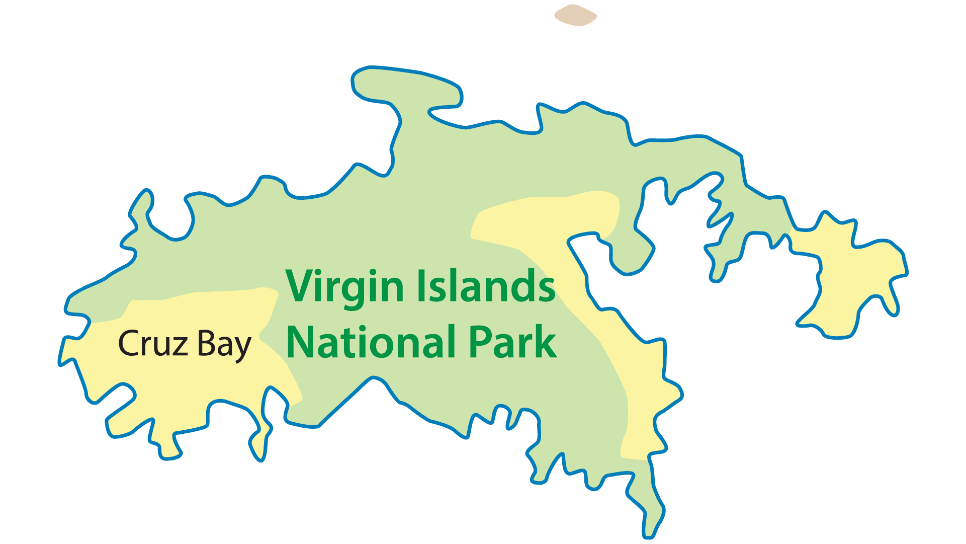
St. John
St. John is the smallest of the 3 U.S. Virgin Islands. More than half of the island is a US National Park. One of Kenny Chesney’s favorite islands and we would agree. If you leave Gracious for a few hours, you will find shopping, dining, beverages, and activities. The forests shelter resident and migratory birds, including cuckoos, warblers, and hummingbirds. There are several great anchorages to watch a beautiful Virgin Island Sunset.
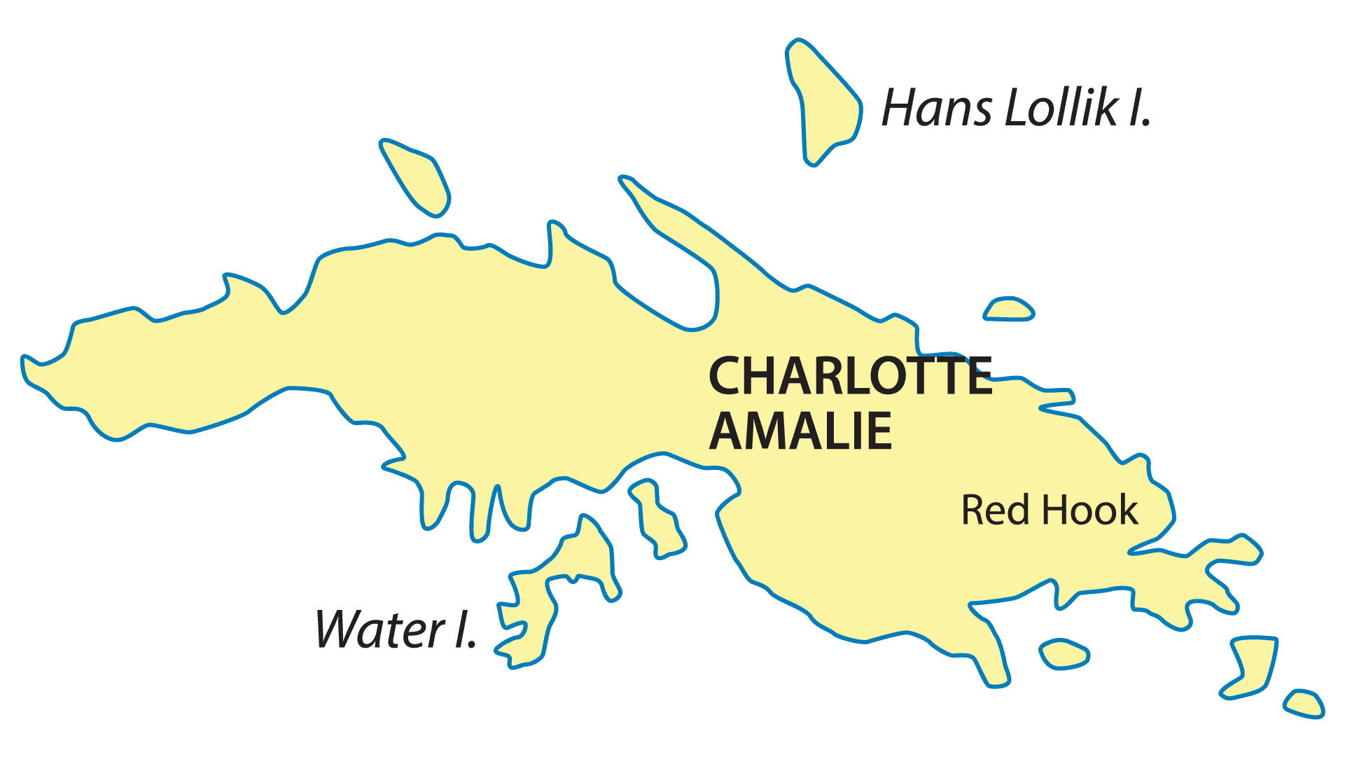
St. Thomas
St. Thomas will be your gateway to the Virgin Islands. It is known for its shopping/souvenirs, beaches, and snorkeling spots. It has multiple locations for the Gracious crew to welcome you to the Virgin Islands. The commercial airport also makes it easy to get to from anywhere.
British Virgin Islands
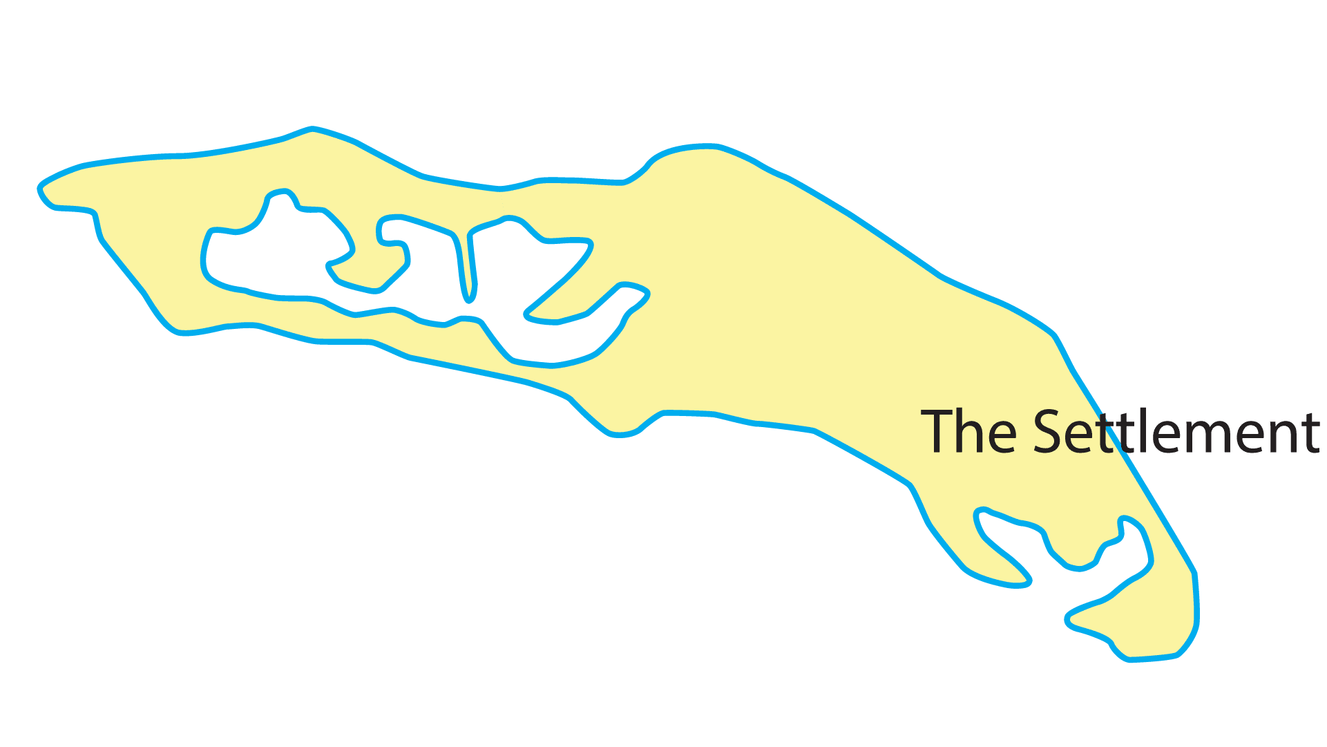
Anagada
Anegada is one of the British Virgin Islands located the furthest from Tortola. Anagada will create a great sailing day aboard Gracious. It is known for secluded beaches like Loblolly Bay and Cow Wreck Beach. It is sometimes referred to as “the lobster island” because lobster is so prevalent. The island is home to flamingos, rock iguanas and rare plant species like sea lavender.

Cooper Island
Cooper Island is one of the smallest islands in the British Virgin Islands. There are five privately owned properties on the island, plus a small beach club resort. Great place to anchor overnight and have a dinner of the yacht if you choose to. Easy to hop from here to The Baths on Virgin Gorda.
Jost Van Dyke
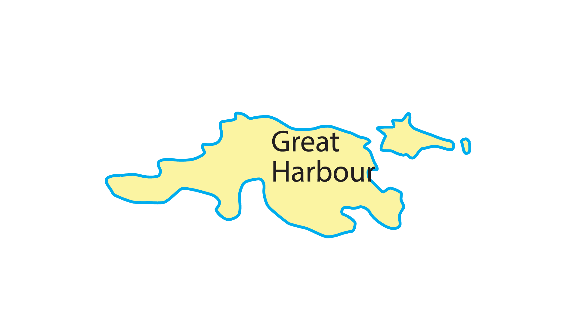
Jost Van Dyke is one of the more popular islands in the British Virgin Islands. Jost has two great anchorages in White Bay and Great Harbor. Casual bars and restaurants are a favorite in White Bay. Great place to hang for the day and play in the knee deep water.

Norman Island
Norman Island is at the southern tip of the British Virgin Islands. It is filled with activities and fun. You can snorkel The Caves or have a refreshing beverage aboard the famous Willie T. If you are ready to go ashore for a beverage and food, The Bight is a great spot to do that.

Peter Island
Peter Island is a private island located Southwest of Tortola. The island was previously owned by Amway and is now owned by one of the family members. Peter Island has pristine beaches and a resort that can be accessed by the public. Nice quite place to anchor for lunch.
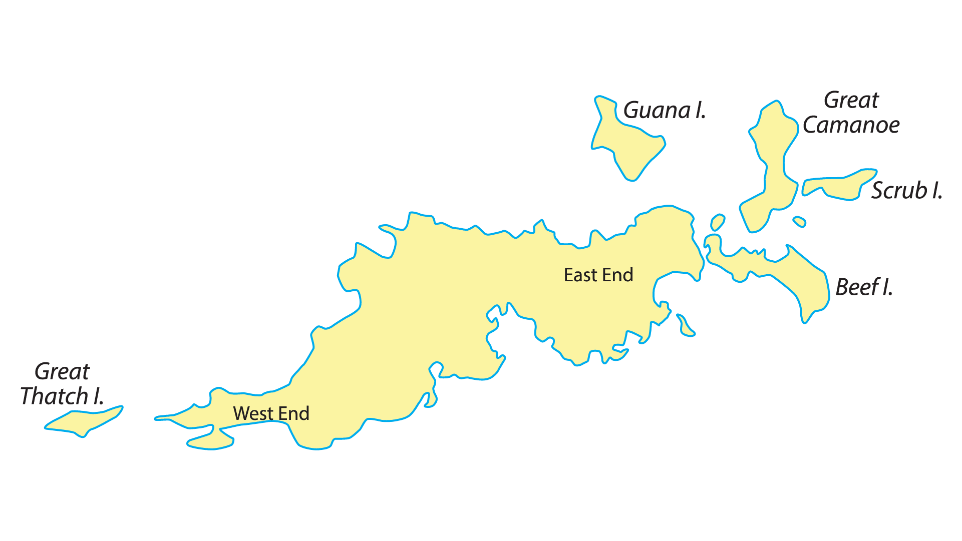
Tortola
Tortola is the largest of the British Virgin Islands. It features several white-sand beaches, including Cane Garden Bay and Smuggler’s Cove. Road Town, the capital of the British Virgin Islands, has a harbor dotted with sailing boats and is known as a yachting hub. Sopers Hole provides a great place to check in to customs as you enter the BVI’s.
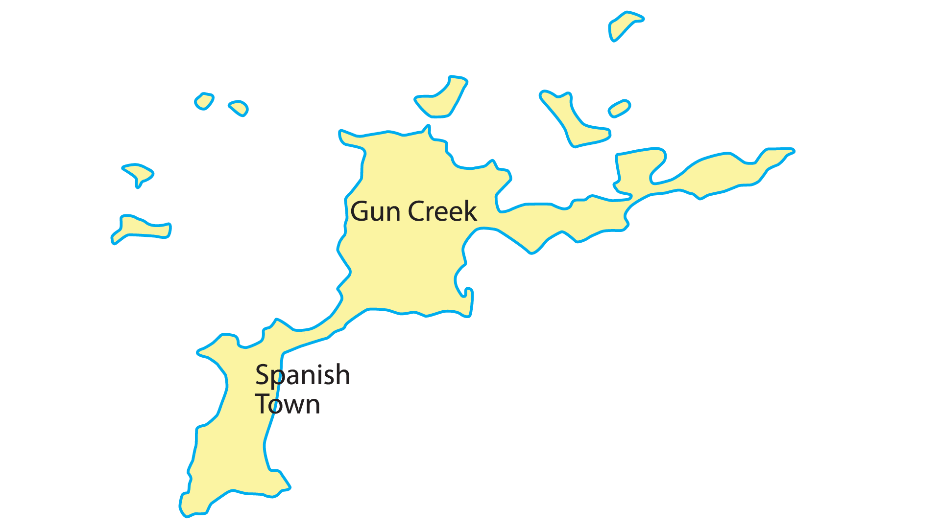
Virgin Gorda
Virgin Gorda is known for the Baths, a beachside boulders forming a series of pools and seawater-flooded grottoes. White-sand beaches nearby include Spring Bay and Devil’s Bay, plus Savannah Bay farther north. The island is also home to two of the nicest resorts in the BVI’s, Little Dix Bay and Oil Nut Bay. The north sound of Virgin Gorda is Spectacular.